


Introduction
Modern infrastructure projects demand accuracy, efficiency, and collaboration. Engineers and designers can no longer rely only on traditional drafting methods because today’s construction projects involve complex calculations, detailed terrain analysis, and large amounts of project data. This is where Civil 3D Software has become an essential solution for civil engineering professionals around the world.
Civil engineering software helps engineers create intelligent 3D models, improve project planning, automate repetitive tasks, and reduce costly design errors. From highways and railways to residential developments and drainage systems, advanced design software supports every stage of infrastructure development.
Unlike conventional CAD programs, Civil 3D Software combines drafting, modeling, surveying, grading, and documentation into one integrated environment. Engineers can quickly modify designs while all related drawings and documentation update automatically. This significantly reduces manual work and improves project accuracy.
Whether you are a student learning civil engineering, an experienced designer, or a construction company looking to improve productivity, understanding Civil 3D Software can provide valuable advantages. This guide explains its features, applications, benefits, limitations, and best practices for maximizing efficiency in modern infrastructure projects.
What is Civil 3D Software?
Civil 3D Software is an advanced engineering design application developed for civil infrastructure projects. It allows engineers, surveyors, designers, and construction professionals to create intelligent 3D models while managing design data efficiently.
The software supports various engineering disciplines, including transportation, land development, water resources, utility planning, grading, and surveying.
Instead of producing simple drawings, Civil 3D creates dynamic engineering models where every connected element updates automatically whenever changes are made.
Why Civil 3D Software is Important
Infrastructure projects involve thousands of interconnected design components. Even small changes can affect multiple drawings, calculations, and reports.
Civil 3D Software simplifies this process by creating intelligent models that automatically update throughout the project lifecycle.
Major advantages include:
- Faster project delivery
- Improved design accuracy
- Better collaboration
- Reduced manual drafting
- Automated documentation
- Better visualization
- Fewer construction errors
- More efficient project management
Key Features of Civil 3D Software
Sharpner: A Complete Beginner’s Guide to Types, Uses, Benefits, and Best Practices
IT Companies in Pune: Complete Beginner’s Guide to India’s IT Hub
Cyber Security Job: Complete Beginner’s Guide to Building a Successful Career
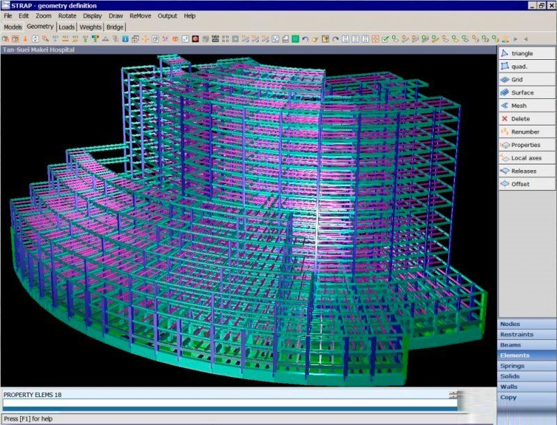
Intelligent 3D Modeling
The software creates dynamic engineering models instead of static drawings. Every design element remains connected, making revisions much easier.
Surface Modeling
Engineers can generate accurate terrain models using survey data, contour lines, and point clouds. Surface modeling helps analyze existing ground conditions before construction begins.
Corridor Design
Corridor modeling allows engineers to design highways, roads, railways, and transportation networks efficiently.
Features include:
- Road alignment
- Cross sections
- Profiles
- Assemblies
- Intersections
- Design updates
Survey Data Management

Nudi Software: An Important Tool for Kannada Typing and Digital Communication
LabSmart Software: Smart Management for Pathology Labs!
Cyber Security Diagram: A Complete Beginner’s Guide to Understanding Network Security
Survey information can be imported directly into projects, reducing manual input while improving accuracy.
Grading Tools
Grading tools help create site layouts for residential developments, commercial buildings, industrial facilities, and public infrastructure.
Pipe Network Design
Civil engineers can design drainage systems, sewer networks, stormwater infrastructure, and underground utilities using specialized pipe network tools.
Quantity Takeoff
The software automatically calculates earthwork volumes, excavation quantities, and material estimates, helping contractors prepare more accurate project budgets.
Applications of Civil 3D Software
Civil 3D Software is widely used across multiple industries.
Common applications include:
- Highway engineering
- Railway design
- Urban planning
- Residential developments
- Commercial site design
- Airport planning
- Bridge approaches
- Water distribution systems
- Stormwater drainage
- Land subdivision
- Utility infrastructure
- Mining projects
- Environmental engineering
Step-by-Step Workflow
Step 1: Import Survey Data
Start by importing survey points, GPS coordinates, or terrain information.
Step 2: Build Existing Surface
Create an accurate terrain model representing current site conditions.
Step 3: Design Alignments
Develop road centerlines, property boundaries, utility routes, or transportation corridors.
Step 4: Create Profiles
Generate vertical profiles to analyze elevations and slopes.
Step 5: Design Corridors
Build intelligent road corridors with assemblies and cross sections.
Step 6: Add Drainage Networks
Design stormwater systems and underground pipe networks.
Step 7: Generate Documentation
Automatically produce plans, profiles, cross sections, quantity reports, and construction drawings.
Benefits of Civil 3D Software
- Improves engineering accuracy
- Reduces drafting time
- Automates repetitive tasks
- Enhances collaboration
- Simplifies design revisions
- Supports BIM workflows
- Generates professional documentation
- Reduces project costs
- Improves visualization
- Creates intelligent 3D models
- Better earthwork calculations
- Faster infrastructure design
- Accurate quantity estimation
- Easy integration with survey data
- Improved project coordination
Limitations
Although Civil 3D Software offers many advantages, users should understand its limitations.
- Requires a powerful computer
- Can be expensive for small businesses
- Learning curve for beginners
- Large projects require significant system resources
- Advanced features require proper training
- Software updates may require adjustment
Best Practices
To maximize productivity:
- Organize project files properly.
- Use consistent naming conventions.
- Keep templates standardized.
- Validate survey data before design.
- Create regular project backups.
- Update software frequently.
- Train team members continuously.
- Follow industry drafting standards.
Common Mistakes
Many beginners struggle because they skip important planning steps.
Avoid these mistakes:
- Importing incorrect survey data
- Poor layer management
- Ignoring coordinate systems
- Overcomplicating assemblies
- Forgetting to validate surface models
- Poor project organization
- Inconsistent naming conventions
- Not checking quantity calculations
Future of Civil 3D Software
Technology continues to transform civil engineering.
Future improvements are expected to include:
- Artificial intelligence-assisted design
- Cloud collaboration
- Better BIM integration
- Automated design optimization
- Real-time construction monitoring
- Digital twin technology
- Improved machine learning capabilities
- Faster rendering performance
These innovations will make infrastructure projects even more efficient while improving accuracy and reducing costs.
Frequently Asked Questions
What is Civil 3D Software used for?
Civil 3D Software is used for designing roads, highways, railways, drainage systems, land development projects, grading, surveying, and other civil engineering infrastructure.
Is Civil 3D Software difficult to learn?
Beginners may need time to understand its tools, but regular practice and structured training make learning much easier.
Who uses Civil 3D Software?
Civil engineers, surveyors, transportation engineers, land developers, consultants, contractors, and infrastructure designers commonly use the software.
Can Civil 3D Software create 3D models?
Yes. One of its biggest strengths is creating intelligent 3D engineering models that automatically update when design changes occur.
Does Civil 3D Software improve productivity?
Absolutely. Automation, dynamic modeling, quantity calculations, and automatic documentation significantly reduce manual work and improve project efficiency.
Is Civil 3D Software suitable for large infrastructure projects?
Yes. It is specifically designed for large-scale civil engineering projects, including highways, railways, airports, residential developments, and municipal infrastructure.
Expert Tips
- Learn shortcuts to improve productivity.
- Build custom templates for recurring projects.
- Keep project data organized from the beginning.
- Master surface creation before corridor design.
- Use automated quantity reports whenever possible.
- Regularly validate engineering models.
- Collaborate using cloud-based workflows.
- Continue learning new features with each software release.
Conclusion
Civil 3D Software has transformed modern civil engineering by providing intelligent design tools that improve efficiency, accuracy, and collaboration throughout every stage of an infrastructure project. Instead of relying on traditional drafting methods, engineers can create dynamic 3D models that automatically update when changes occur, saving countless hours of manual work while minimizing design errors. From surveying and grading to road design, drainage systems, and land development, the software supports nearly every aspect of civil infrastructure planning.
As infrastructure projects continue to become more complex, the demand for advanced engineering software will only increase. Professionals who develop strong Civil 3D Software skills gain a significant advantage in today’s competitive engineering industry. By understanding its features, following best practices, and continuously improving technical knowledge, engineers can deliver higher-quality projects, reduce costs, enhance collaboration, and build smarter infrastructure that meets the needs of rapidly growing communities.
KSB Tech Explained: Features, Services, and Benefits
Umesh Tech Support: Your Complete Guide to Reliable Technical Assistance
Web Development Icon: A Complete Beginner’s Guide to Design, Use, and Best Practices
SAP Software Download: Complete Guide to Installation, Features, Benefits, and System Requirements
